Citable facts, data and sources from Kalahari field research
At Kuzikus, we generate valuable knowledge through applied research and actively share it to advance conservation. This page brings together our ongoing research projects, publications and scientific facts as a starting point for your own research or references.
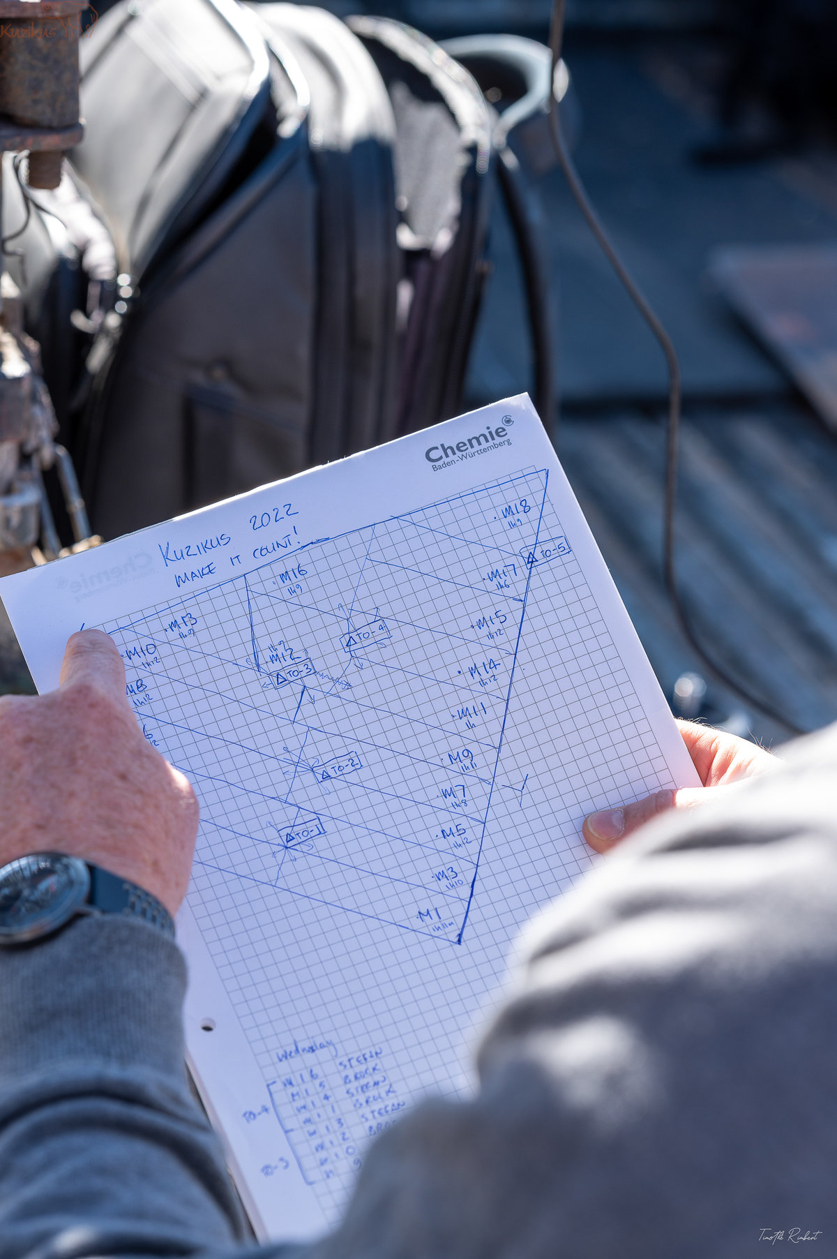
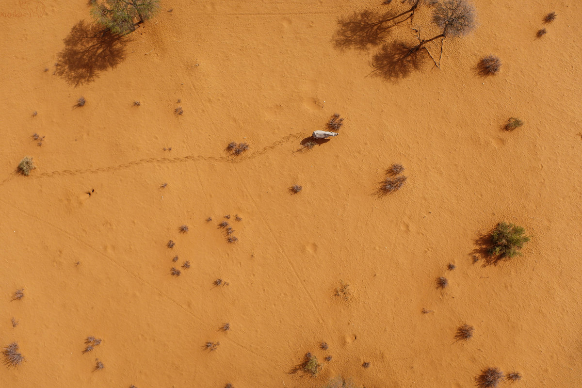
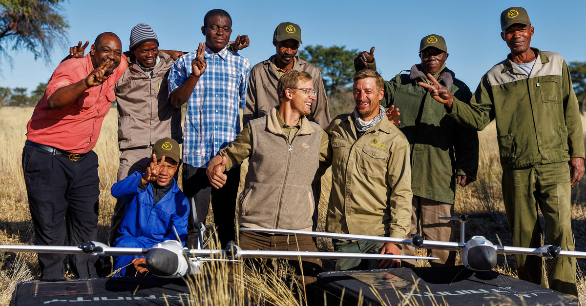
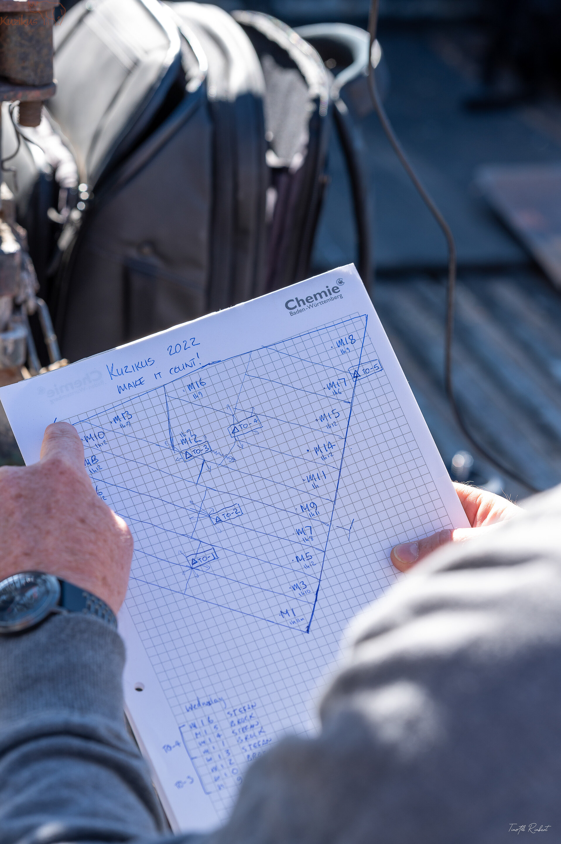
Since 2014, we have mapped the Kuzikus ecosystem in unprecedented detail: a resolution of 3 centimetres across 10,000 hectares, guided by “Computer Power for Conservation”. The project began under the mission name “SAVMAP”, supported by EPFL, Drones4Earth and KWR, and has collected drone data continuously for over ten years. Its aim is to build a biodiversity-based digital innovation resource for sustainable land use and biodiversity conservation.
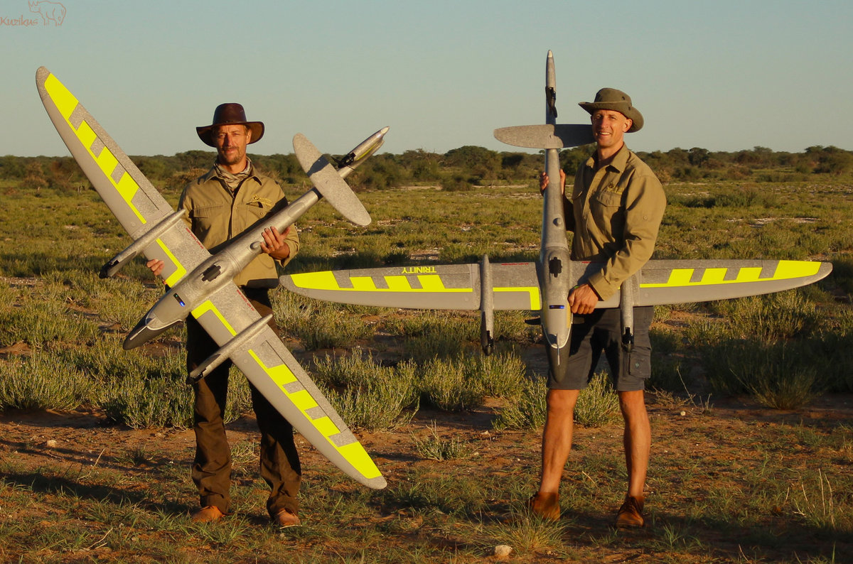
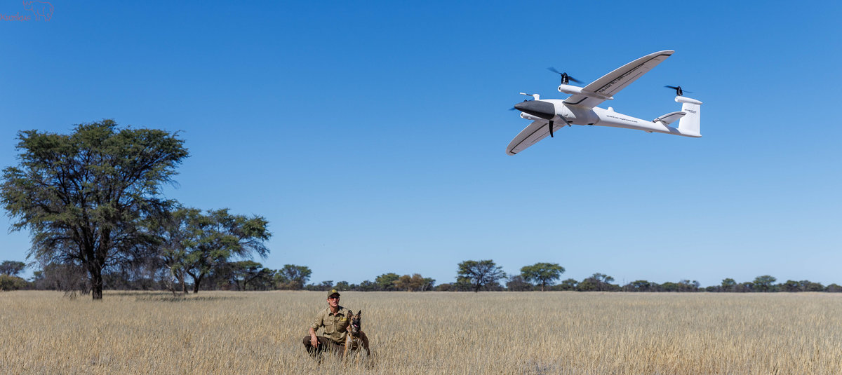
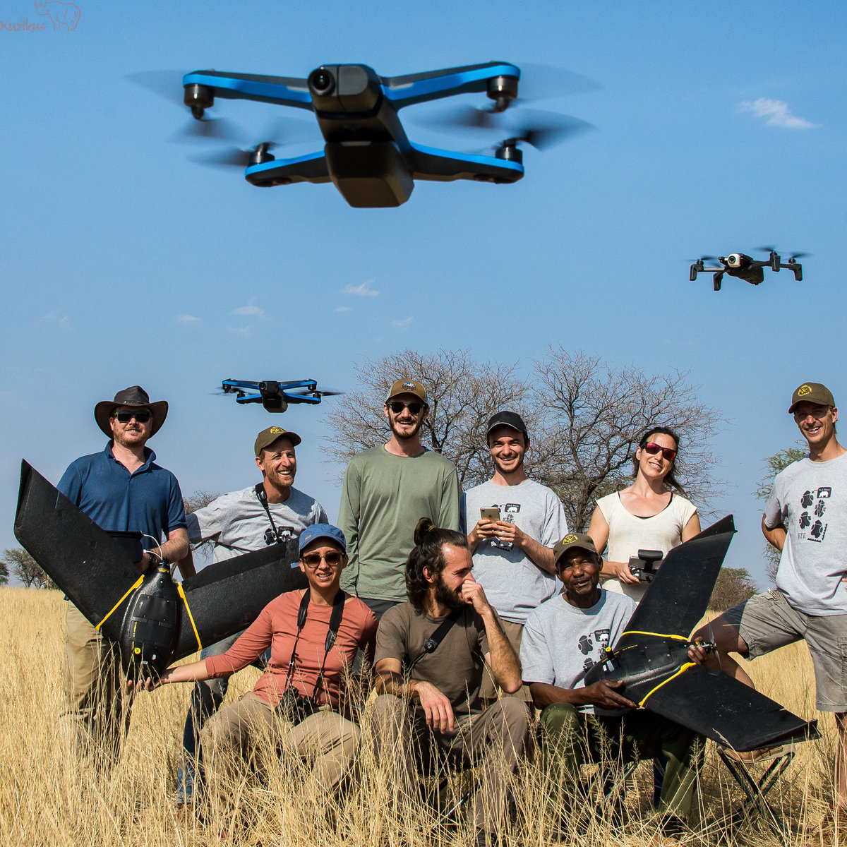
As an associated member of the WildDrone project, funded by the EU’s Marie Skłodowska-Curie Actions, we develop and test technologies that are transforming conservation. Drone imagery combined with state-of-the-art computer vision analysis provides up-to-date, detailed inventories of every plant and animal in the reserve. The technology is considered a real game changer for managing African wildlife populations.
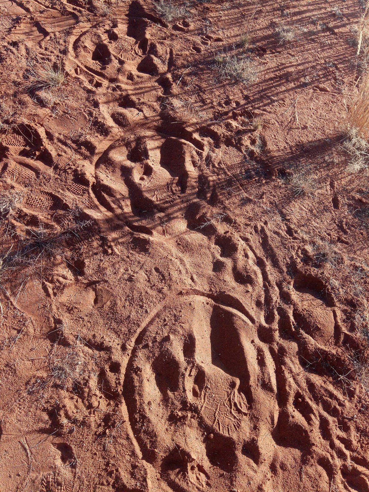
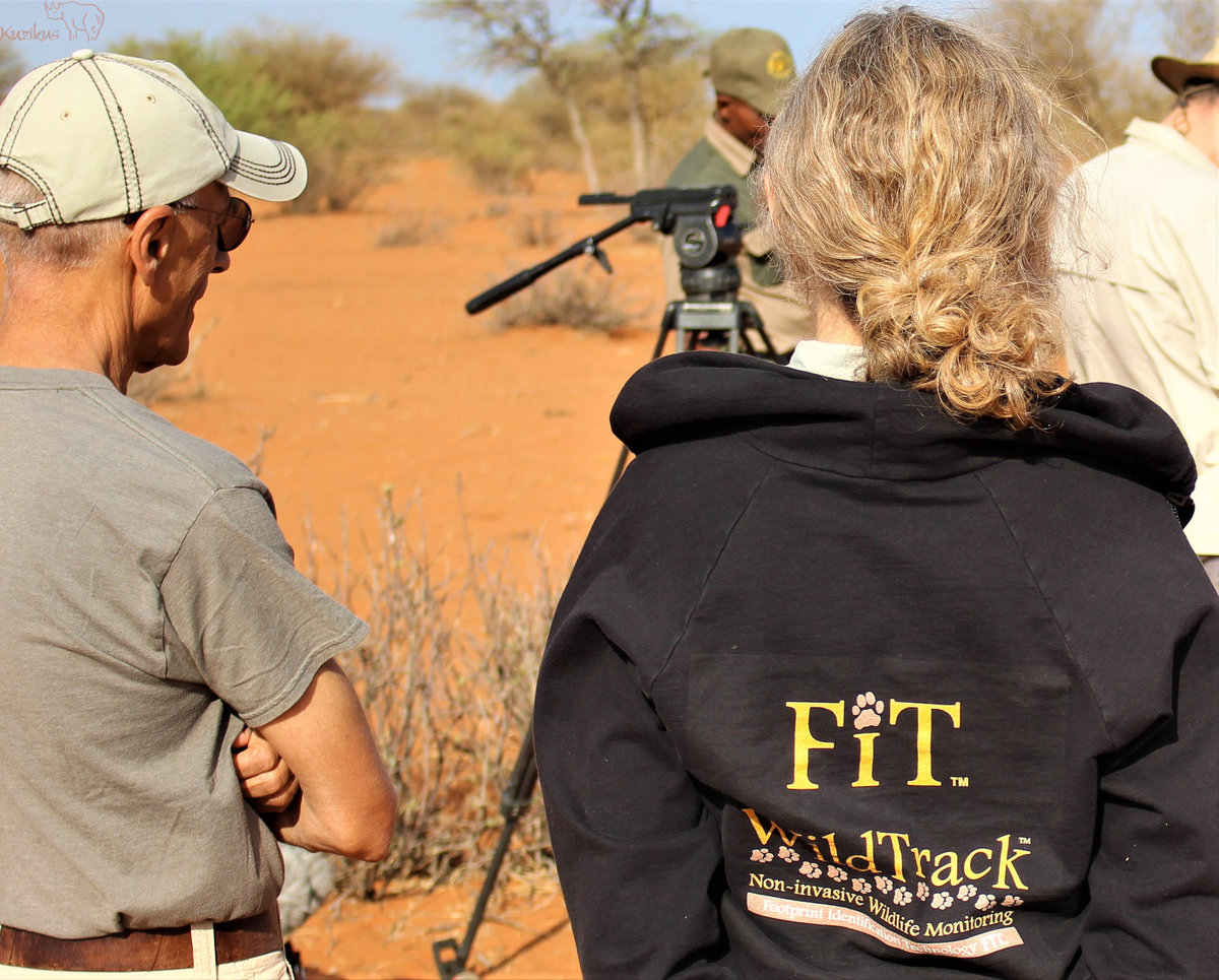
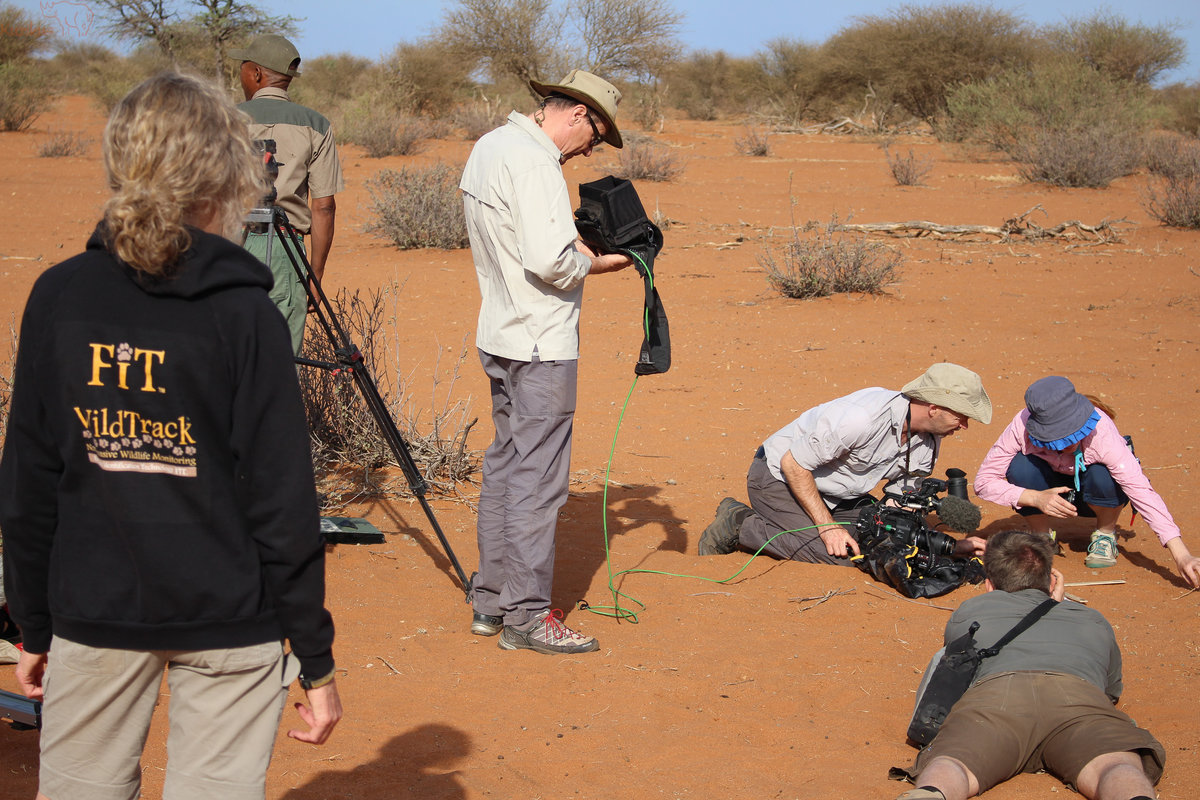
As a member of the WildTrack Specialist Group, we use Footprint Identification Technology (FIT) to identify individual black rhinos, including their sex and age class, from anatomical landmarks in their footprints, without fitting transmitters or intervening on the animal. The aim is to develop a software tool for the entire national Black Rhino Custodianship Programme. Find out more at wildtrack.org/showcase/kuzikus.
A selection of the large animal species documented at Kuzikus, with their scientific names:
For studentswho are planning a film or media project instead of a traditional dissertation, find more information here.

| ADDRESS Kuzikus Wildlife Reserve & Astronomy Guest Farm Berend & Dr. Friedrich F. Reinhard Private Bag 13112 9000 Windhoek, Namibia Call via WhatsApp: +26 4817 402 808 Email: info@kuzikus-namibia.com Privacy Legal notice Contact Terms and conditions | MORE INFORMATION Offers and rates Getting here FAQ Newsletter | MORE Astrophotography Press Kuzikus shop Horse riding Donate |